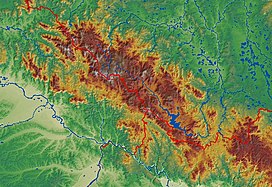
Bohemian Forest
Appearance
| Bohemian Forest | |
|---|---|
 Großer Arber (Velký Javor) | |
| Highest point | |
| Peak | Großer Arber |
| Elevation | 1,456 m above NN |
| Dimensions | |
| Length | 100 km (62 mi) |
| Naming | |
| Native name | |
| Geography | |
| Countries | Germany, Czech Republic and Austria |
| Range coordinates | 49°06′45″N 13°08′09″E / 49.1125°N 13.1359°E |


The Bohemian Forest is a mountain range in Central Europe. It extends from the Czech Republic to Austria and Germany.

